
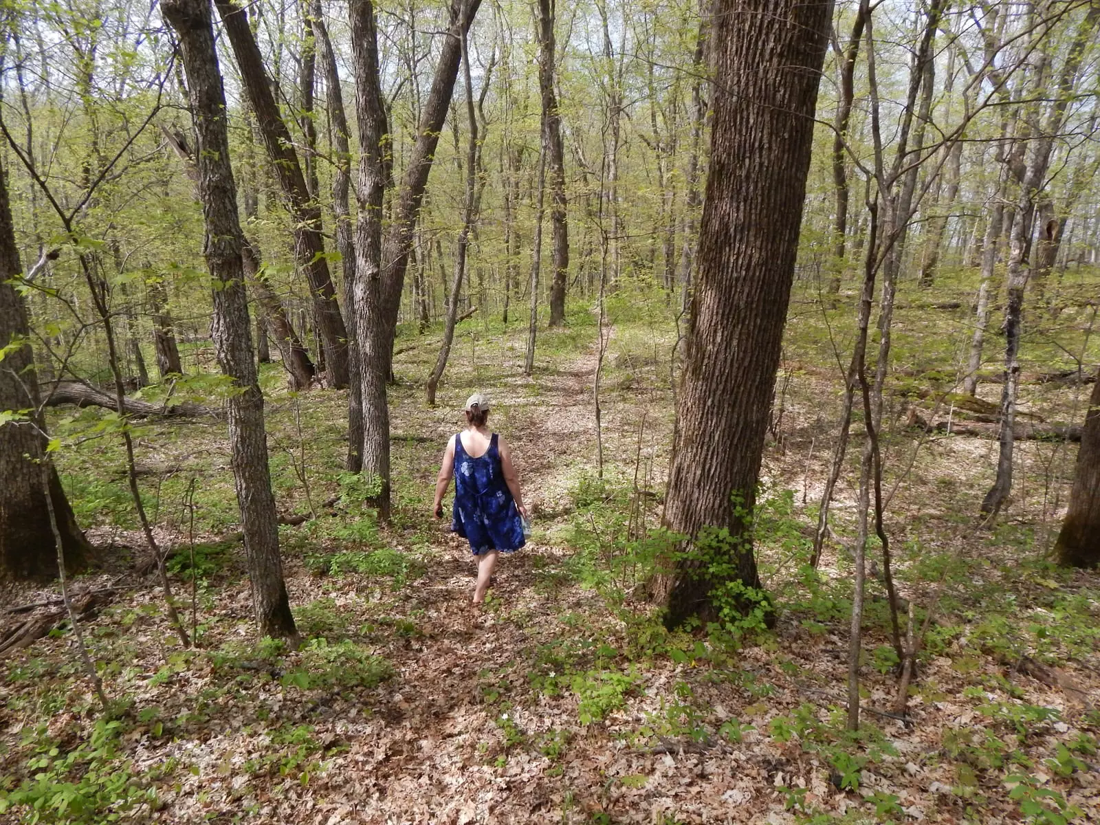
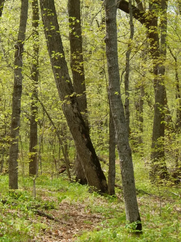
Walks & Hikes
Popular Footpaths
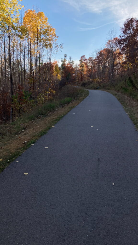
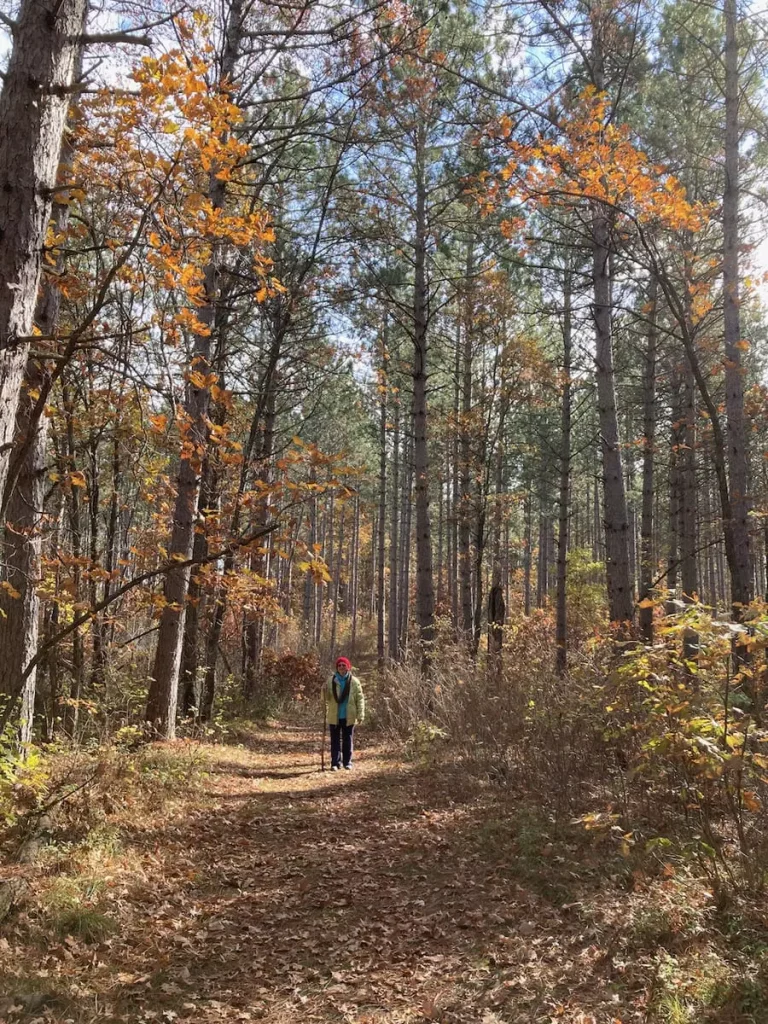
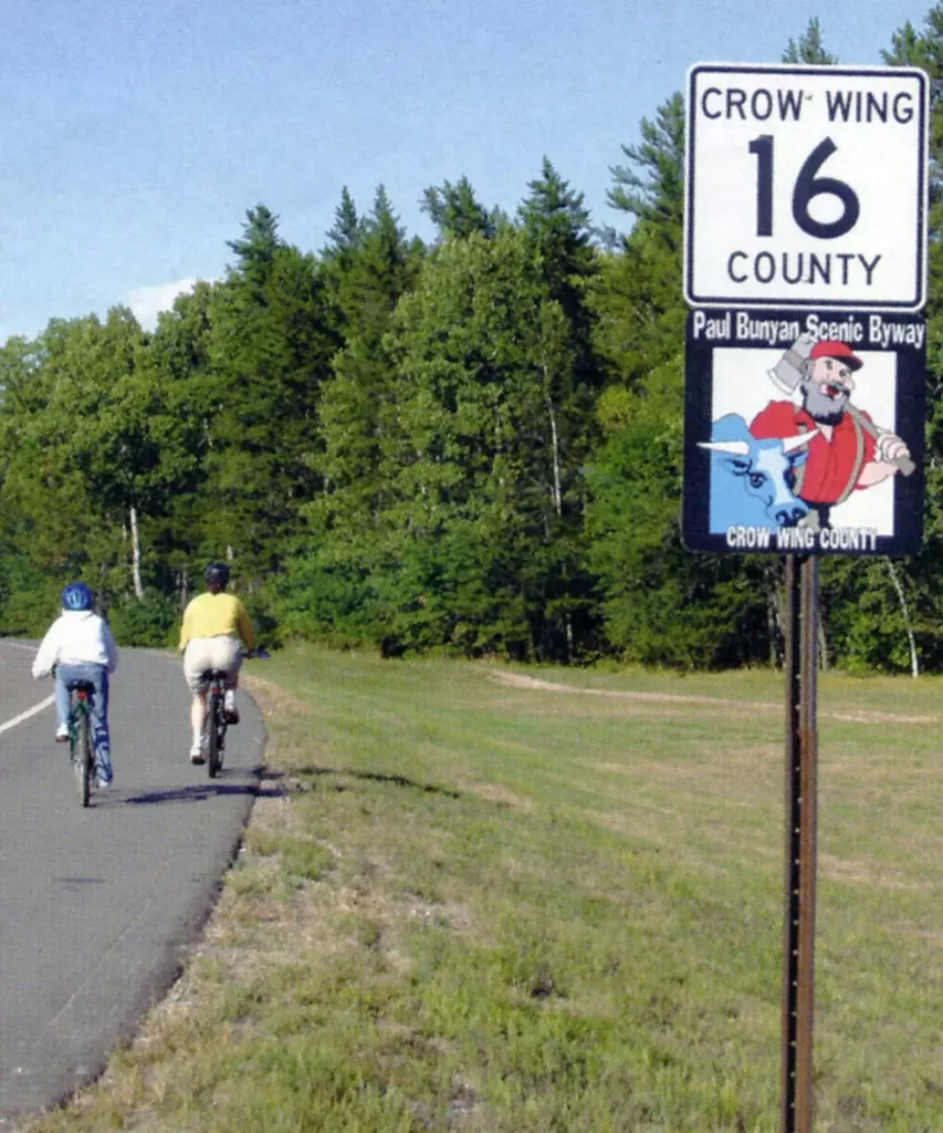
Whether you’re longing for a day to explore the trails, or just some fresh air and sky – the Paul Bunyan Scenic Byway is home to delightfully satisfying walks.
Walking Trails
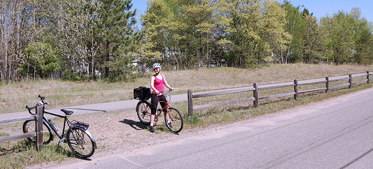
Breezy Point Walking Trails
Crosslake City Trail
Paul M. Thiede Fire Tower Park
Paul Bunyan State Trail

Pelican Lake Conservation Club
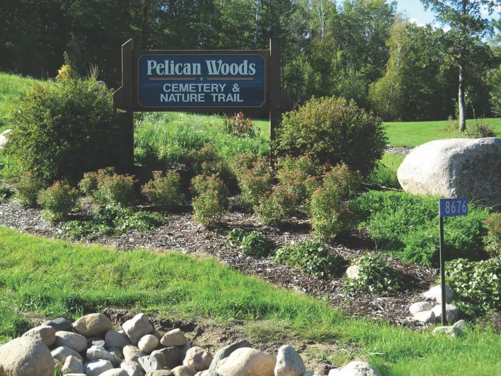
Pelican Woods Cemetery & Nature Trails
Veterans Memorial Walking Trail
West Shore Drive
Byway Maps
Get a birdseye view of the byway and surrounding areas. Locate interactive kiosks, bike lanes, Paul’s footprints, parks, trails, beaches and more!